
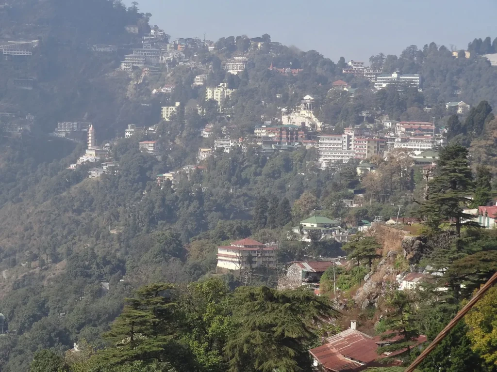
Mussoorie is a hill station 38 km from Dehradun, and most of its attractions sit within a few kilometres of the Mall. The Dehradun district tourism page lists them with distances and heights, which makes it easy to sort the places that deserve a stop from those that are only a name on a signboard. This guide goes through the Mussoorie tourist places worth your time and how to fit them into one or two days.
Know before you go
- Distance from Dehradun: 38 km by road.
- Highest point: Lal Tibba (Depot Hill), with Himalayan views on clear days.
- Gun Hill: second highest peak in Mussoorie, 2,122 m, reached by ropeway.
- Kempty Falls: about 11 to 15 km from town, depending on the page.
- Nearest airport and station: Jolly Grant Airport and Dehradun railway station (about 36 km).
- Time needed: 1 to 2 days.
- Last checked: 6 November 2026.
In this guide
The town centre
Mall Road
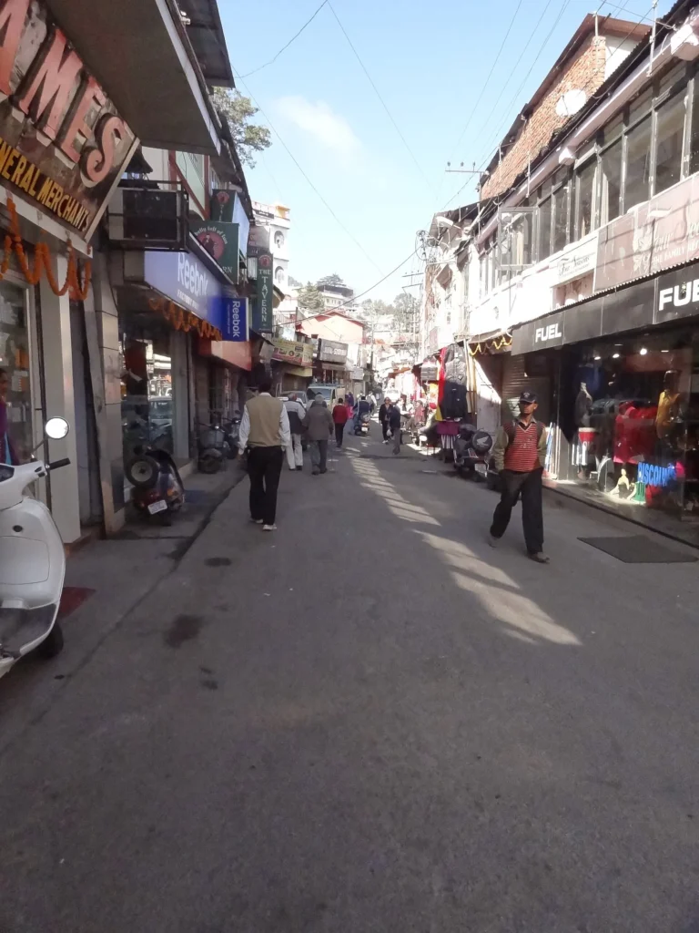
Mall Road is the social centre of Mussoorie, with shops, cafes and a long stretch of walkable road with views over the valley. The district page calls Mussoorie the queen of hill stations and notes that there are no steep inclines in town, which suits walkers of all ages. It works as the starting point for any plan.
Gun Hill
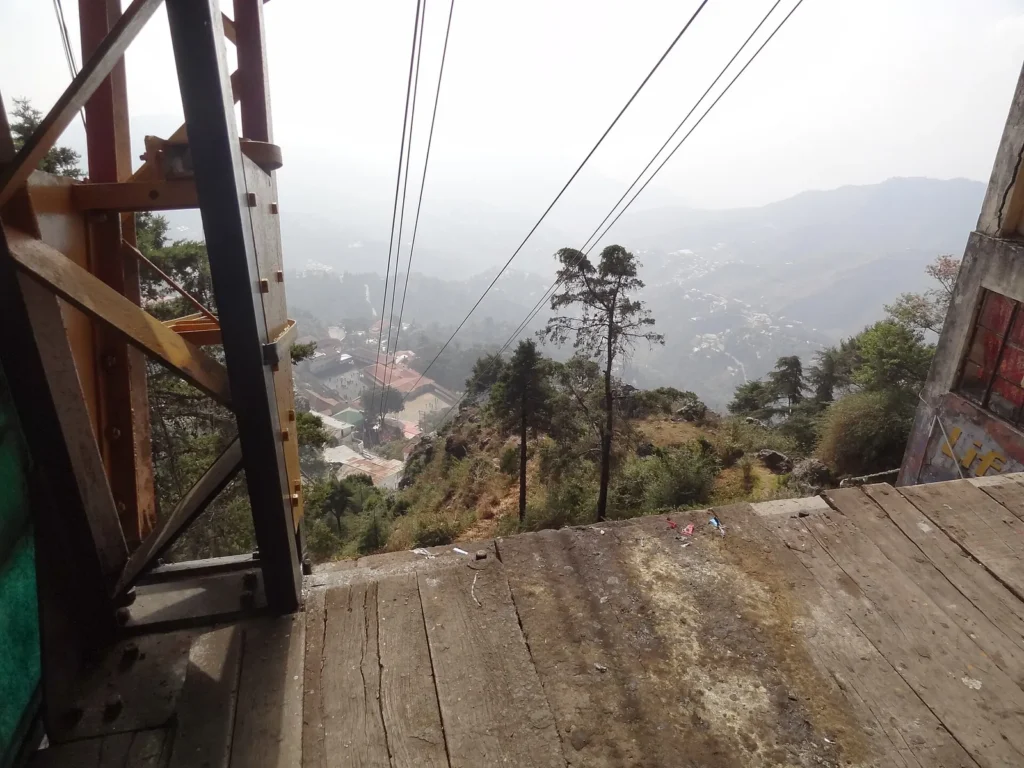
The district page describes a ropeway ride to Gun Hill, the second highest peak of Mussoorie at 2,122 m, with a panoramic view of the Himalayan ranges. Check current ropeway timings and fares locally, since the page gives neither.
Viewpoints
Lal Tibba
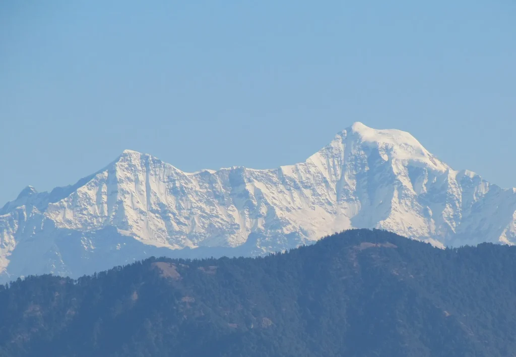
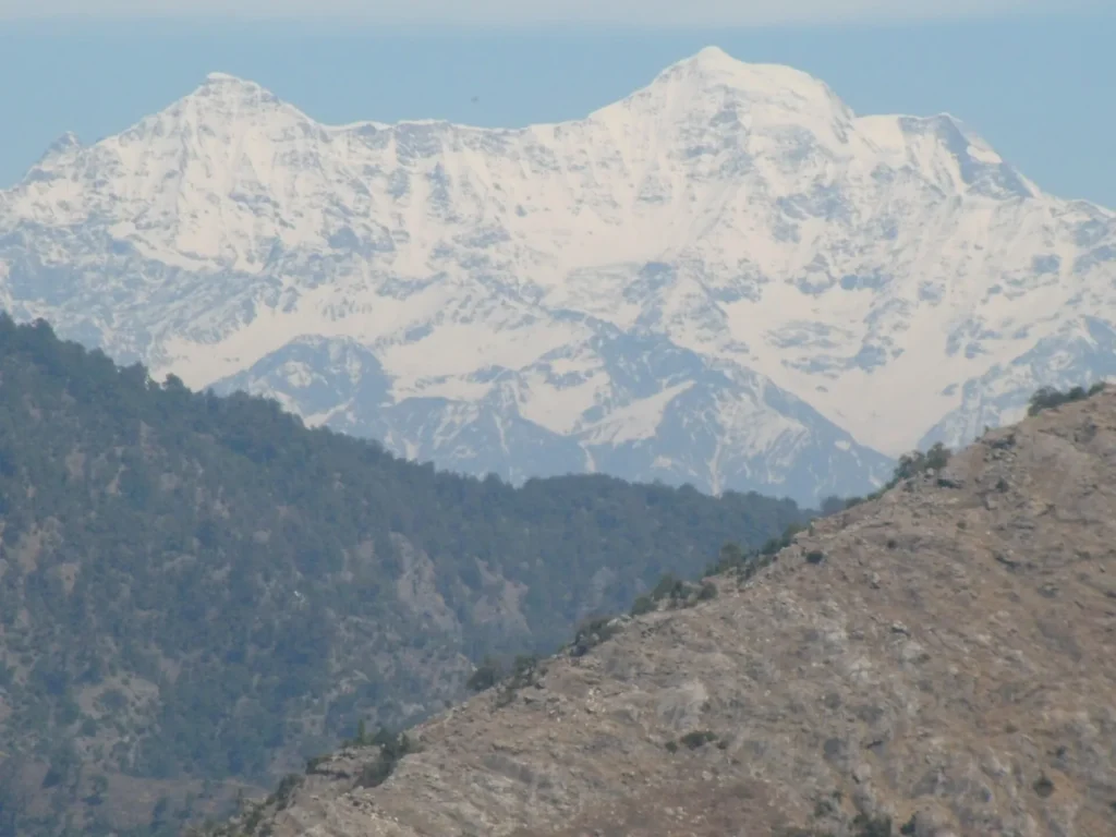
Lal Tibba, also called Depot Hill, is the highest point in Mussoorie. On clear days the page says you can see the Badrinath, Kedarnath, Bandarpoonch, Srikanth and Nanda Devi peaks. It sits in the Landour area, so combine it with a slow walk there.

Camel’s Back Road
The road offers a view of the sunset and a rock that looks like a sitting camel. Long walks and horse riding are possible here, according to the district page.
Landour
Landour is the quieter, older part of Mussoorie, with a cantonment and a few historic churches such as the Kellogg Memorial Church. It is best explored on foot, away from the Mall Road crowd.

Waterfalls and nearby escapes
Kempty Falls
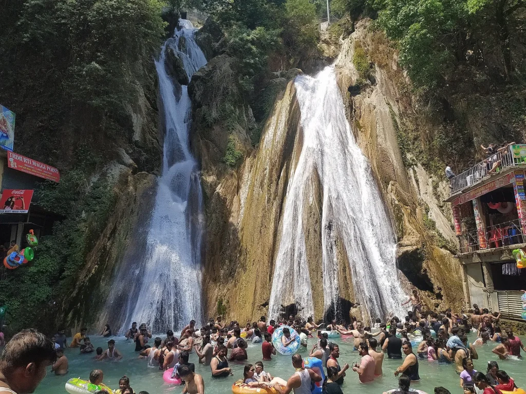
The district page calls Kempty the biggest and most fascinating waterfall near Mussoorie. It gives the distance as about 11 km from town in one paragraph and 15 km on the Yamunotri road in another, so ask your driver for the actual figure. It is a busy stop, and the page says it attracts hundreds of people every day. Bhatta Falls is a smaller picnic spot.
Dhanolti and further out
Dhanolti is 24 km from Mussoorie and is described as a retreat with views of valleys and snow peaks. Nagtibba is a trek reached after Thatyur and Devalsari. The Surkanda Devi temple sits at 3,030 m and needs a trek of about 2 km from the road. A fair is held every year around Ganga Dussehra in May or June. Bhadraj Temple, about 15 km from Mussoorie, is dedicated to Lord Balbhadra and looks over the Doon Valley.
The Vinog Mountain Quail Sanctuary, established in 1993 and covering 339 hectares, lies about 11 km from Library Point.
How to reach Mussoorie
Jolly Grant Airport in Dehradun is the nearest airport, with direct flights from Delhi and Mumbai. Dehradun railway station is about 36 km away, and buses and taxis go on to Mussoorie. Frequent buses also run to Delhi, Dehradun and other towns in the region.
When to go
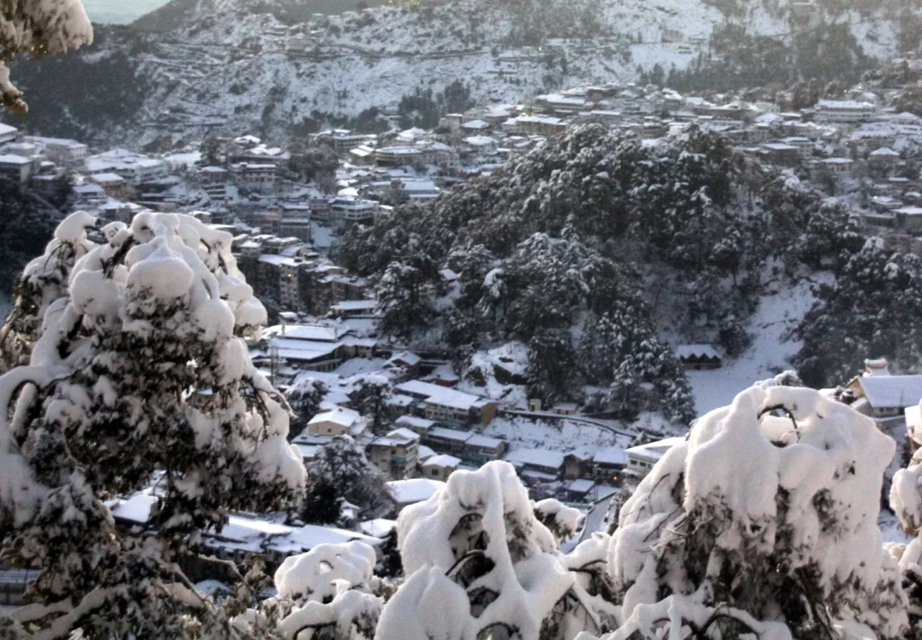
The district page says the town is busy in summer. Snow is possible in winter, which draws its own crowd, so check conditions and road access before you travel.
A simple plan
- Day one: Mall Road, the Gun Hill ropeway and a sunset walk on Camel’s Back Road.
- Day two: Lal Tibba and Landour in the morning, then Kempty Falls or a drive towards Dhanolti.
Plan more of Uttarakhand
Mussoorie is also a gateway to the Gangotri and Yamunotri shrines, according to the district page. Read our Char Dham Yatra guide, our post on Lansdowne, the Tungnath hike, and our guides to Almora and Nainital.
FAQ
What are the main Mussoorie tourist places?
Mall Road, Gun Hill, Lal Tibba, Camel’s Back Road, Landour, Kempty Falls and Dhanolti.
What is the highest point in Mussoorie?
Lal Tibba, also known as Depot Hill, is the highest point, and Gun Hill is the second highest at 2,122 m.
How far is Kempty Falls from Mussoorie?
The Dehradun district page gives 11 km in one place and 15 km in another, so confirm with your driver.
How far is Mussoorie from Dehradun?
38 km, according to the district page. The railway station at Dehradun is about 36 km away.
Which tourist places in Mussoorie are good for a day trip from Dehradun?
Mall Road, Gun Hill and Kempty Falls fit into a day.
Official resources: Dehradun district, Mussoorie.
Photo credits
Featured image: Harshanh / Wikimedia Commons, CC BY-SA 3.0; Mall Road: Harshanh / Wikimedia Commons, CC BY-SA 3.0; Gun Hill: Harshanh / Wikimedia Commons, CC BY-SA 3.0; Lal Tibba: SHUVADIP / Wikimedia Commons, CC BY-SA 4.0; Lal Tibba: Paul Hamilton / Wikimedia Commons, CC BY-SA 2.0; Camel’s Back Road: Poojamangrolia / Wikimedia Commons, CC BY-SA 4.0; Landour: Mark Windsor / Wikimedia Commons, CC BY-SA 4.0; Kempty Falls: BestMan20 / Wikimedia Commons, CC0; When to go: Paul Hamilton / Wikimedia Commons, CC BY-SA 2.0.


