
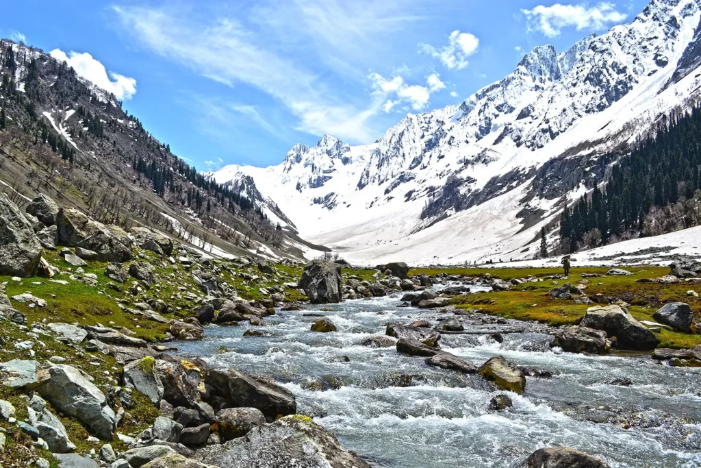
Sonamarg, the “meadow of gold”, is a valley town on the Sindh river in Ganderbal district, about 87 km from Srinagar on the highway to Ladakh. Most visitors come on a day trip from Srinagar to ride a pony up to the Thajiwas glacier, walk along the river and look up at the snow peaks. It is also the base for the Great Lakes trek and for Baltal, the Amarnath Yatra camp. Since the Sonamarg tunnel opened in January 2025, the road from Srinagar no longer has to cross the avalanche-prone stretch near Gagangir, which is meant to keep Sonamarg open in winter too.
Know before you go
- Where: Ganderbal district, J&K, about 87 km from Srinagar by road, under 3 hours (Ganderbal district administration).
- Altitude: about 2,740 to 2,800 m, depending on the source (Incredible India and Kashmir Tourism).
- Main sight: Thajiwas glacier, reached by pony or on foot. Ganderbal district notes private vehicles are not allowed, so visitors hire a local taxi.
- Sonamarg tunnel: 6.4 km main tunnel, part of a 12 km project at over 8,650 feet, opened 13 January 2025 (PIB).
- Nearby: Baltal, 15 km east, the base camp for the Amarnath Yatra; Zoji La, the pass to Ladakh, beyond it.
- Pony and taxi fares: set locally and they change, so confirm the rate at the official stand before you start.
- Last checked: 2 November 2026 on Ganderbal district and PIB.
In this Article
Where Sonamarg is and how to get there
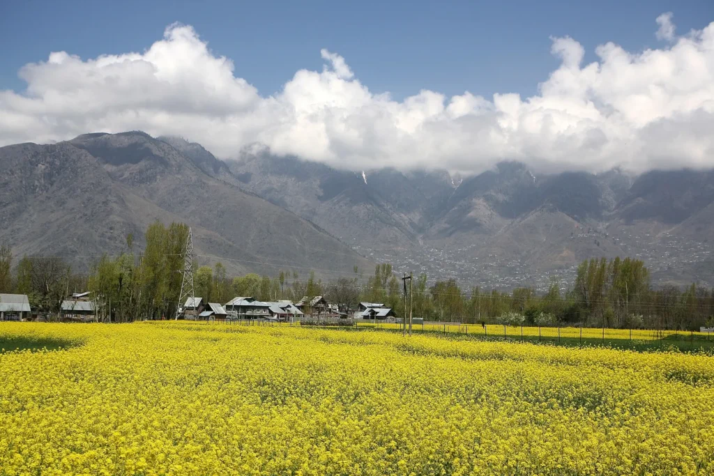
Sonamarg lies north-east of Srinagar, up the Sindh valley on the Srinagar-Leh highway. The Ganderbal district administration puts it at 87 km from Srinagar, under 3 hours by car or bus. Srinagar airport is the nearest airport.
Most people hire a car with a driver in Srinagar for the day. Our 5 day Kashmir itinerary uses Sonamarg as a day trip from a Srinagar base, along with Gulmarg and Pahalgam. Leave early in the morning, since traffic on the highway can be slow and you will want time at the glacier.
The road runs past villages, fields and the river. In spring you may see mustard in flower on the way up.
Sonamarg altitude and weather
Kashmir Tourism gives the altitude as 2,800 m (9,186 feet), and Incredible India puts it at 2,740 m. Either way, it is much higher and colder than Srinagar. The district administration describes the climate as bracing, with frequent light rain and a few heavier days in July and August.
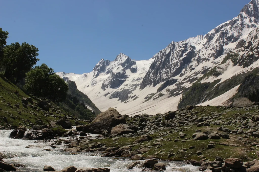
Snow covers the valley in winter. The district page notes that the road opens for traffic around late April, when snow still lies all over the valley. Summer, roughly May to September, is the usual season for the glacier, treks and camping. Carry warm layers and a rain jacket in every season. Temperatures vary a lot, so check the forecast before you go.
Thajiwas glacier
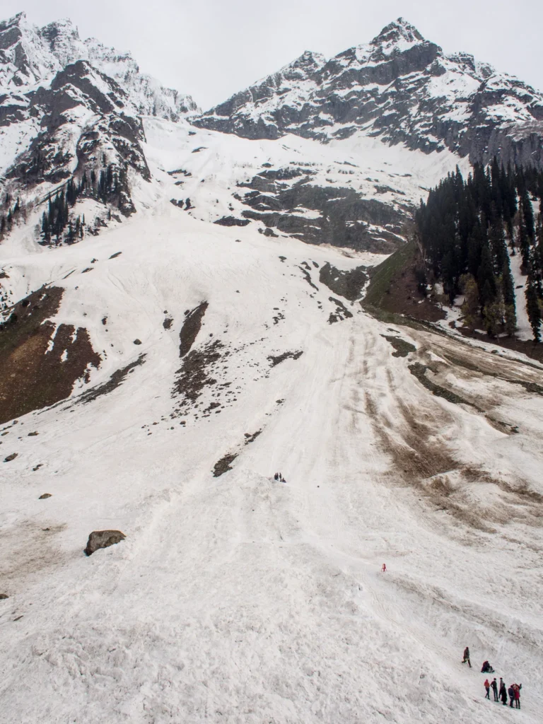
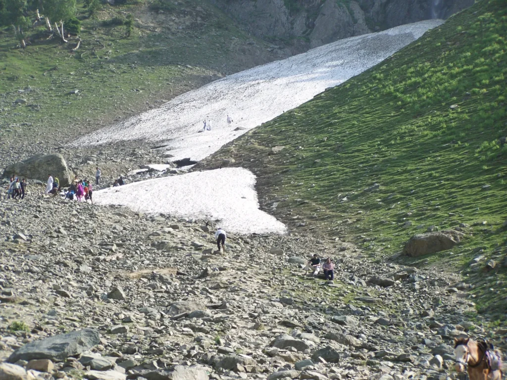
The Thajiwas glacier is the reason most people come. Ganderbal district lists it at 9,186 feet, with half-day walks in summer to waterfalls around the glacier. You can go up on a pony, or walk if you are fit. Snow often stays near the glacier’s base well into summer, and sledges are available there in season.
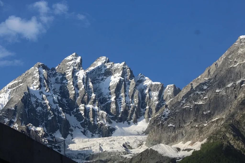
Pony fares are set locally and vary by season. Agree the rate, the destination and the waiting time at the pony stand before you start, and pay at the end. The walk is rocky in places, so wear proper shoes rather than sandals.
The Kashmir photo journey on this site has more images of the valley.
Pony rides and the Sindh river
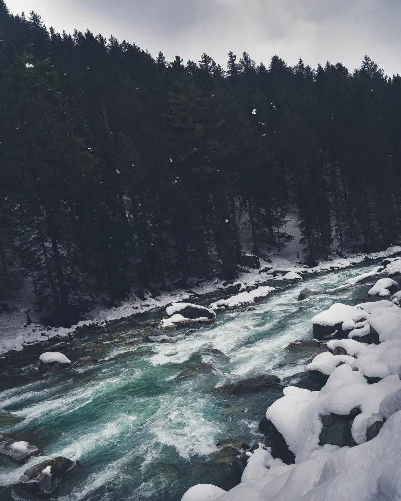
The Sindh runs through Sonamarg, cold and fast from the snowmelt. The district page notes trout and mahseer in the river. The Jammu and Kashmir tourism department also holds river rafting events at Sonamarg. Rafting is run by local operators in season; ask about life jackets and the stretch of river before you book.
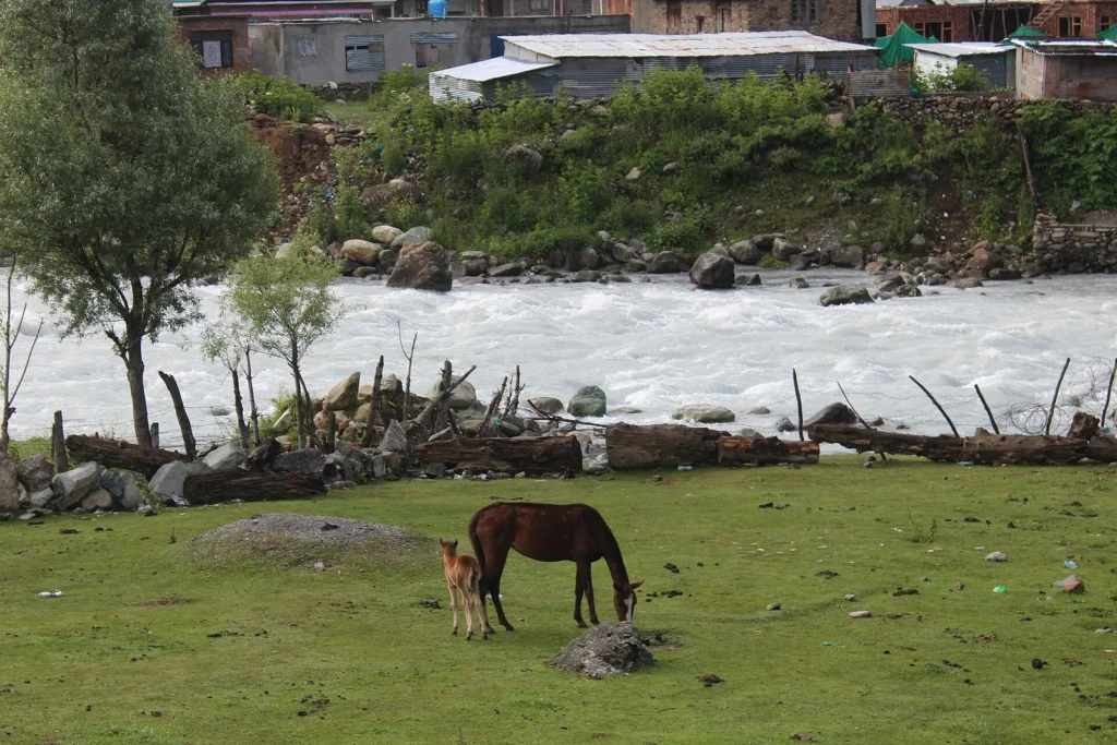
Ponies wait at stands near the main market and the meadow. Besides the glacier, they go to viewpoints and meadows around the town.
The Sonamarg tunnel
The Sonamarg tunnel (also known as the Z-Morh tunnel) was opened on 13 January 2025. According to PIB, the project is about 12 km long, with a 6.4 km main tunnel, an escape tunnel and approach roads, at over 8,650 feet above sea level. It bypasses landslide and avalanche-prone stretches between Srinagar and Sonamarg, and is meant to turn Sonamarg into a year-round destination.
The Zojila tunnel further on is due for completion by 2028, according to the same release. Until then, the road over Zoji La to Ladakh still closes in heavy snow.
Zoji La and Zero Point
Zoji La is the pass on the road from Sonamarg to Ladakh, and Zero Point is a snow point on the far side of the pass. Many visitors take a local taxi from Sonamarg for the trip in summer. The road is narrow and can be closed for snow, maintenance or traffic control, so check that it is open on the day. Note that Zero Point lies in Ladakh.
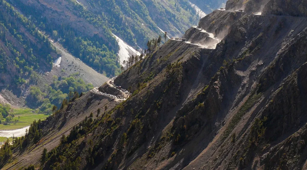
Baltal and the Amarnath Yatra
Baltal, 15 km east of Sonamarg, is a small valley at the foot of Zoji La and one of the base camps for the Amarnath Yatra. During the yatra, the area fills with camps, and traffic and access rules change. Check the Shri Amarnathji Shrine Board for yatra dates and registration.
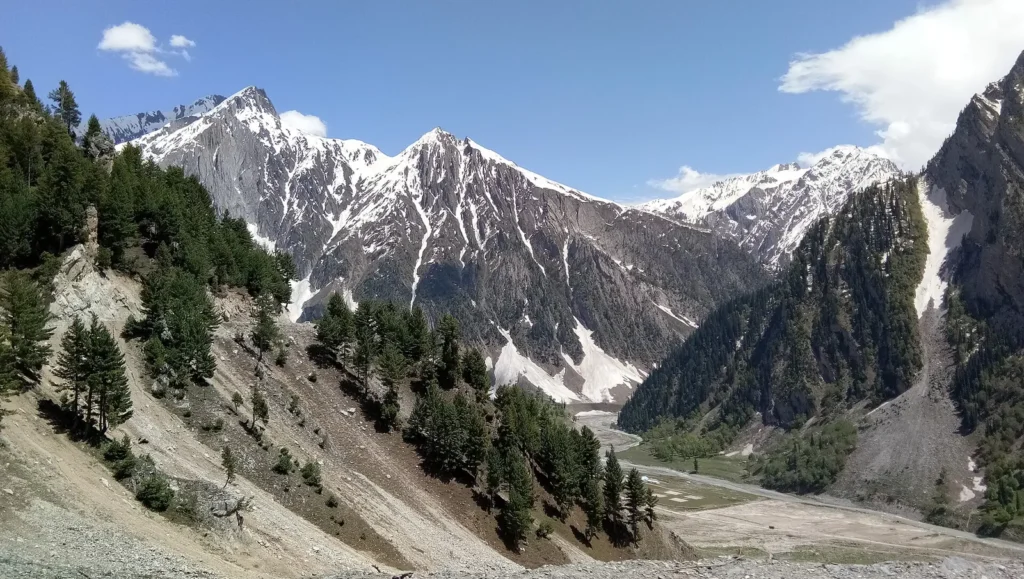
Treks from Sonamarg
The district page lists trekking routes from Sonamarg to the high lakes of Vishansar, Krishansar, Gangabal, Gadsar and Satsar. These lakes are part of the trek often called the Kashmir Great Lakes trek. It takes several days at high altitude, and most trekkers go with a registered operator and a guide in summer. Check permits and route rules with your operator before you go.
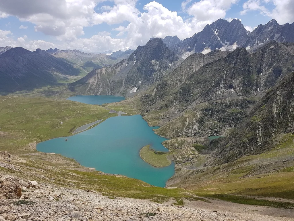
Where to stay
Sonamarg has hotels, guest houses and camps along the main road. Many visitors do it as a day trip from Srinagar, but staying a night lets you visit the glacier early, before the crowds arrive. During the Amarnath Yatra, rooms fill quickly, so book ahead.
For a wider view of the region, read our guides to Srinagar and Pahalgam, and our best time to visit Kashmir guide.
FAQ
### What is the height of Sonamarg in feet? Kashmir Tourism gives 9,186 feet (2,800 m). Incredible India lists 2,740 m, which is about 9,000 feet.
### How long is the Sonamarg tunnel? The main tunnel is 6.4 km long. The full project, with the escape tunnel and approach roads, is about 12 km (PIB).
### How far is Sonamarg from Srinagar? About 87 km by road, under 3 hours by car, according to the Ganderbal district administration.
### Can I take my own car to Thajiwas glacier? The district page says private vehicles are not allowed and visitors hire a taxi. Ponies go up to the glacier.
### What is the best time to visit Sonamarg? May to September for the glacier, treks and green meadows. Winter brings snow; check road conditions before you set off.
### Is Zero Point in Sonamarg? No. Zero Point is beyond Zoji La, in Ladakh. Local taxis from Sonamarg go there when the road is open.
Official resources: Ganderbal district: Sonamarg; Ganderbal district: Thajiwas glacier; PIB: Sonamarg tunnel
Photo credits
Featured image: Mohammad Iliyas khanday / Wikimedia Commons, CC BY-SA 4.0; Where Sonamarg is and how to get there: Rupak Sarkar / Wikimedia Commons, CC BY-SA 4.0; Sonamarg altitude and weather: Sushrut1701 / Wikimedia Commons, CC BY-SA 4.0; Thajiwas glacier: Madhrakangri / Wikimedia Commons, CC BY-SA 4.0; Thajiwas glacier: Mike Prince from Bangalore, India / Wikimedia Commons, CC BY 2.0; Thajiwas glacier: Vikas Panwar / Wikimedia Commons, CC BY-SA 4.0; Pony rides and the Sindh river: Rajarshi MITRA from Mumbai, India / Wikimedia Commons, CC BY 2.0; Pony rides and the Sindh river: Madhrakangri / Wikimedia Commons, CC BY-SA 4.0; Zoji La and Zero Point: VinayakPhadatare / Wikimedia Commons, CC BY-SA 4.0; Baltal and the Amarnath Yatra: Nckumbhkar / Wikimedia Commons, CC BY-SA 4.0; Treks from Sonamarg: Critical koshur / Wikimedia Commons, CC BY-SA 4.0.


