
The Valley of Flowers trek takes you into a high meadow in Chamoli district, Uttarakhand, that blooms for a few weeks each monsoon. The national park covers 87 sq km and sits at around 3,600 m, according to Uttarakhand Tourism. It is one of the two core zones of the Nanda Devi Biosphere Reserve and part of a UNESCO World Heritage Site. The walk starts at Govindghat on the Badrinath road, climbs 13 km to the village of Ghangaria, and then enters the valley the next morning. Nobody is allowed to camp inside, so every visit is a day trip from Ghangaria.
Know before you go
- Where: Chamoli district, Uttarakhand, near Badrinath.
- Altitude: around 3,600 m in the valley and 3,050 m at Ghangaria, per Uttarakhand Tourism.
- Trek distance: 13 km from Govindghat to Ghangaria, about 16 km in total to the valley.
- Season: open from 1 June to 31 October in 2026; most flowers bloom from July to September.
- Permit: needed for every visitor, online or at the Forest Department counter in Ghangaria.
- Nearest railhead: Rishikesh, 273 km from Govindghat.
- Rules: no camping or overnight stay in the valley; be back in Ghangaria by 5 pm.
- Last checked: 4 November 2026.
In this Article
Valley of Flowers trek best time
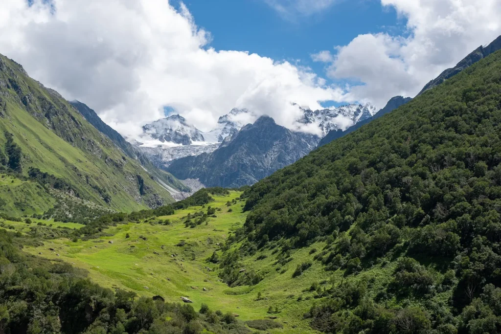
The park opens in early June and shuts at the end of October. For the 2026 season it opened on 1 June and stayed open until 31 October, as reported by Outlook Traveller. Uttarakhand Tourism says the flowers can be seen from May to October, with the greatest abundance from July to September.
| Period | What to expect |
|---|---|
| June | Snow has just melted from parts of the valley. Fewer flowers, fewer visitors, and the trail is usually dry. |
| July to mid August | Peak bloom with the monsoon. Rain most days, slippery paths and the risk of landslides on the road. |
| Late August to September | The bloom slowly thins, the rain eases and mountain views get clearer. |
| October | Grass turns golden, nights are cold and the park closes at the end of the month. |
If seeing the meadow in full colour is the point of your trip, aim for mid July to mid August and accept the rain. If you want views and a firmer trail, early September is a fair compromise.
Permits and entry rules
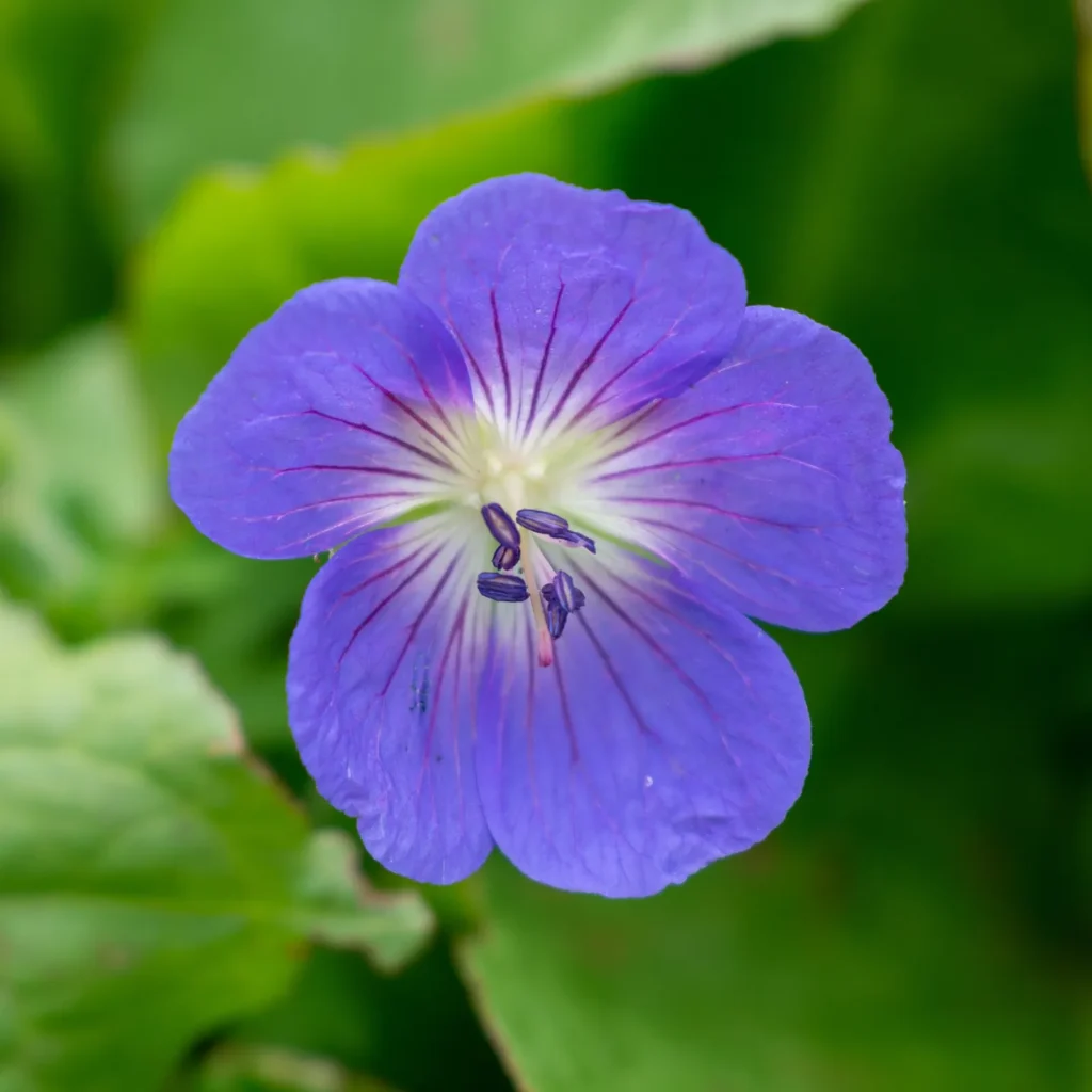
Every visitor needs an entry permit from the Uttarakhand Forest Department. The Nanda Devi Biosphere Reserve runs an online permit portal at valleyofflower.uk.gov.in, launched with the National Informatics Centre, and permits are also sold at the Forest Department counter in Ghangaria. For 2026, Outlook Traveller reported a fee of INR 150 for Indian visitors and INR 600 for foreign nationals, with each permit valid for up to three days. Some other sites quote different amounts, so check the figure on the official portal before you go.
The rules that matter most on the day:
| Rule | Detail |
|---|---|
| Entry hours | 7 am to 2 pm, as reported for 2026 |
| Return | Be back at Ghangaria by 5 pm, per Uttarakhand Tourism |
| Camping | Not allowed inside the park |
| Plastics and drones | Single use plastic and drones are not allowed, as reported for 2026 |
Carry your ID and the permit, and keep it with you on each day you enter.
Route and distance
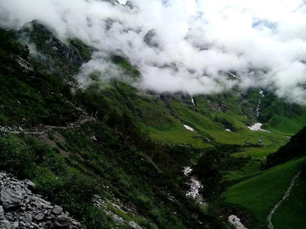
The trek has three stages. Most people spend a night at Govindghat or nearby Joshimath, walk to Ghangaria, and then do the valley as a day walk.
| Stage | Distance | Notes |
|---|---|---|
| Rishikesh to Govindghat | 273 km by road | A long day on the Badrinath highway |
| Govindghat to Ghangaria | 13 km on foot | Shared vehicles cover the first stretch to Pulna |
| Ghangaria to the valley | about 4 km each way | Gradual climb past the Pushpawati river |
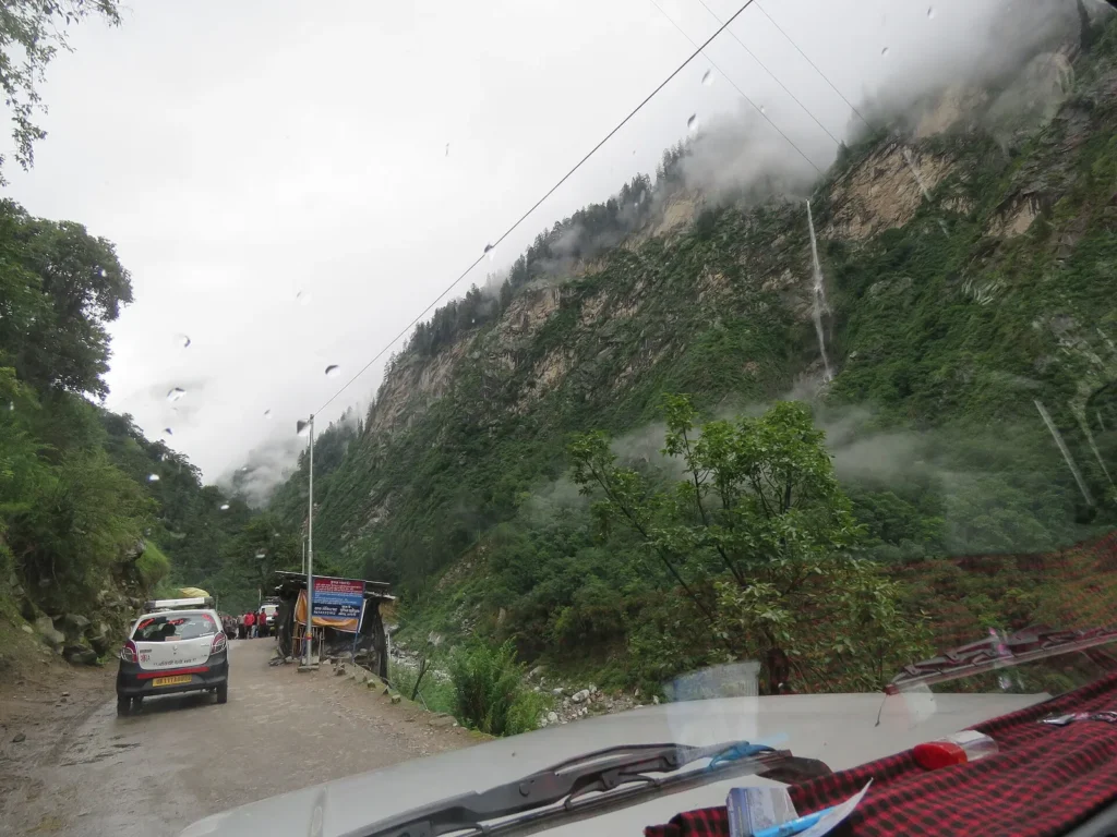
Uttarakhand Tourism calls the trek moderate to challenging. The path is paved for long stretches but climbs steadily, and wet stone gets slippery in the monsoon. Ponies and porters are also available, according to the same page. A helicopter service has also run between Govindghat and Ghangaria in past seasons, but check whether it is operating for your dates.
Ghangaria
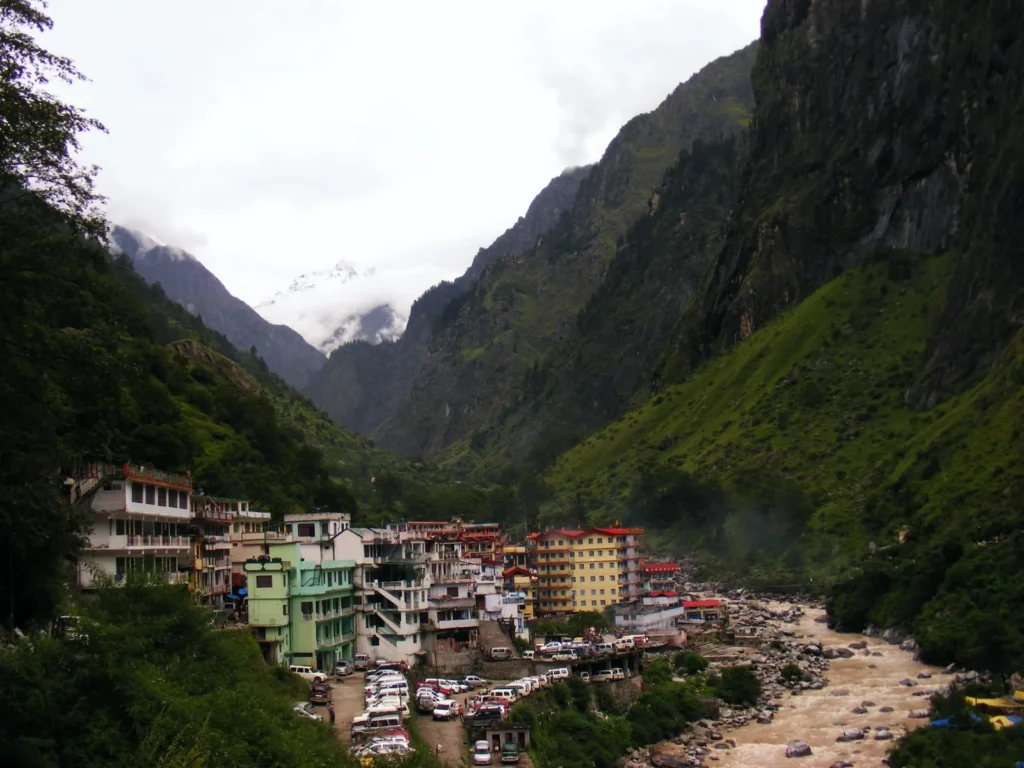
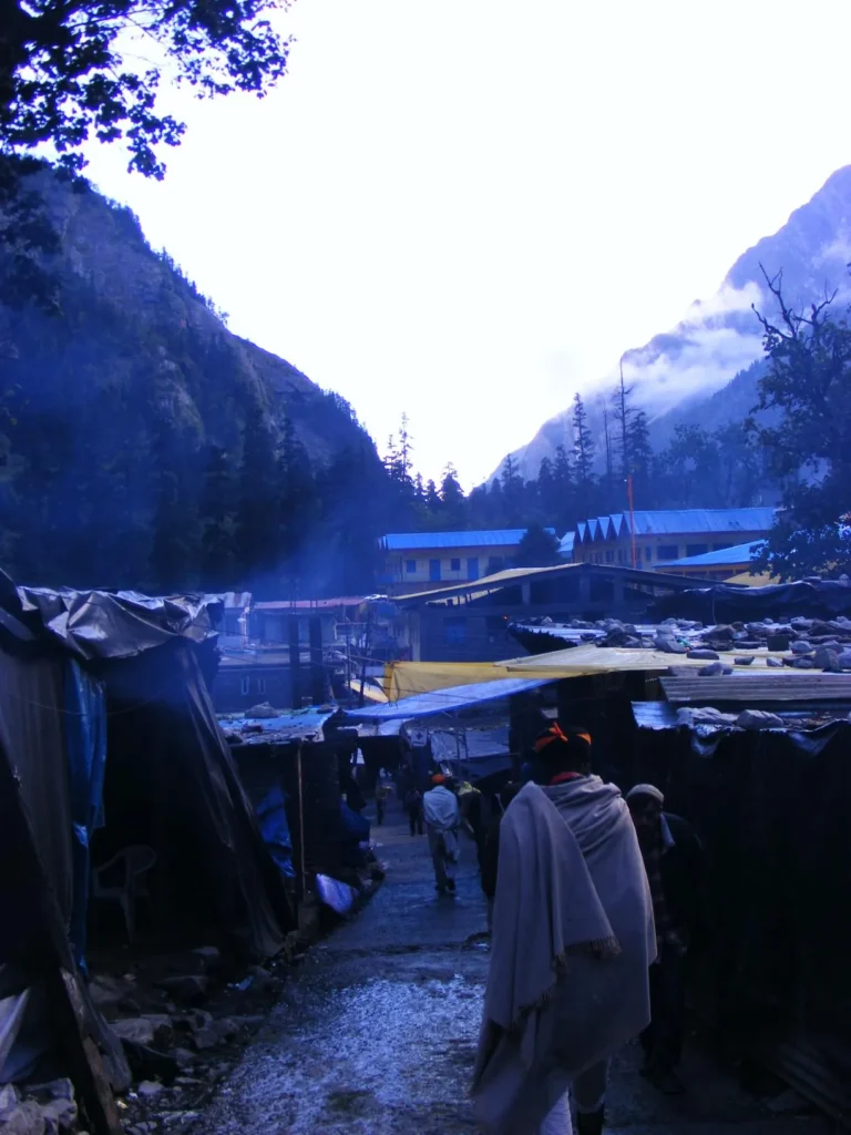
Ghangaria sits at 3,050 m where the Bhyundar Ganga and Pushpawati rivers meet. It is the last village on the route and has guesthouses, lodges and small eateries that open only for the season. Rooms fill up fast in July and August, and on weekends when pilgrims head to Hemkund Sahib, so book ahead.
Inside the valley
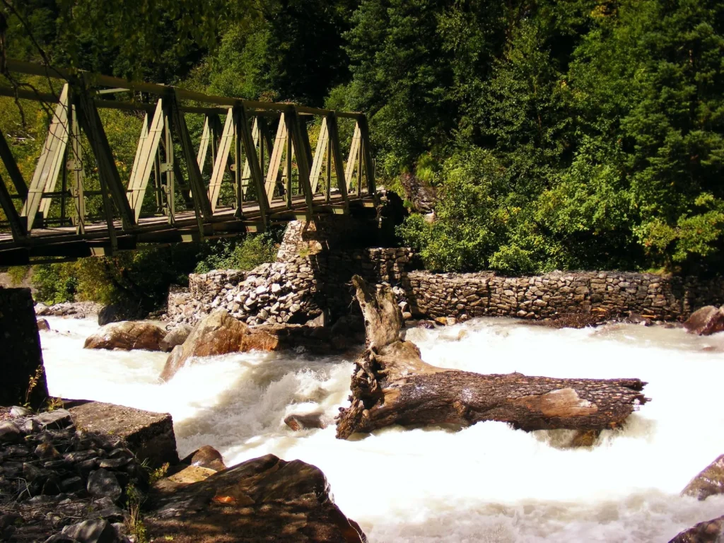
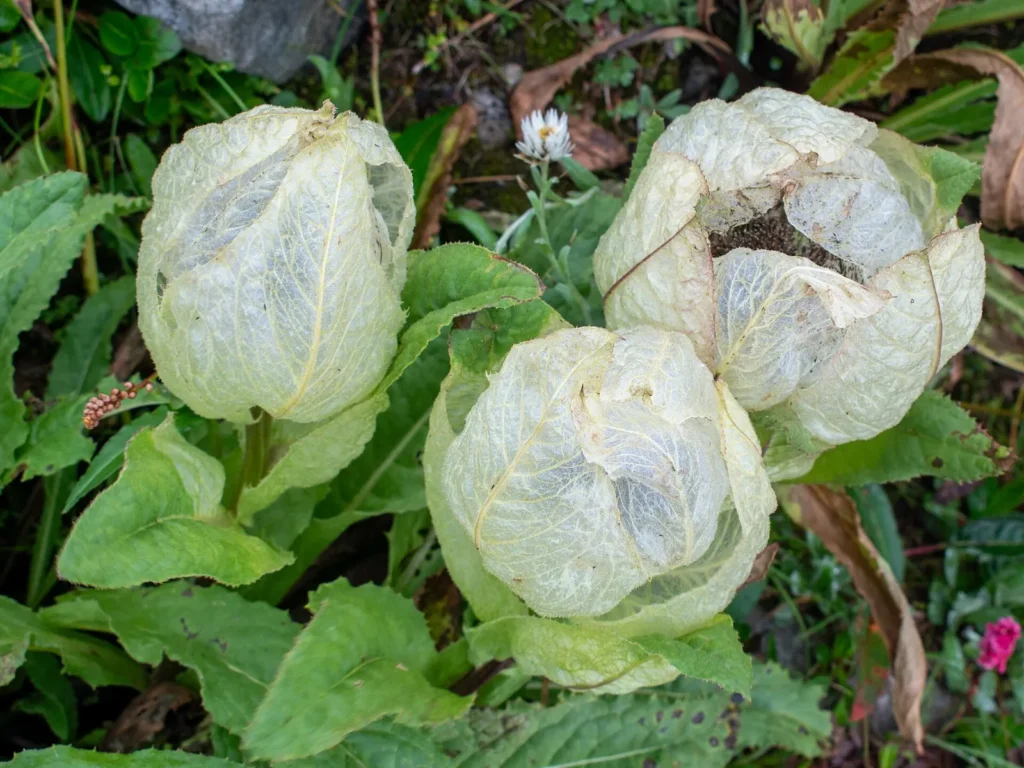
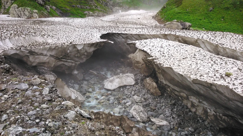
From Ghangaria the path follows the Pushpawati, crosses a bridge at the park entrance and opens out into the meadow. The valley runs for several kilometres, and you can walk as far as time allows before turning back to reach Ghangaria by 5 pm. Uttarakhand Tourism lists over 600 flower species, among them orchids, poppies, primulas, marigolds, daisies and anemones. The UNESCO listing also notes rare animals such as the Asiatic black bear, snow leopard, brown bear and blue sheep, though you are unlikely to see them on a day walk.
Valley of Flowers trek itinerary
Four days from Govindghat back to Govindghat is the usual plan. Add a day either side for the road from Rishikesh or Haridwar.
| Day | Plan |
|---|---|
| Day 1 | Drive to Govindghat or Joshimath and rest |
| Day 2 | Govindghat to Ghangaria on foot, settle in and acclimatise |
| Day 3 | Day walk into the Valley of Flowers, back by 5 pm |
| Day 4 | Hemkund Sahib day walk, or a second day in the valley |
| Day 5 | Walk down to Govindghat and drive towards Rishikesh |
The permit is valid for up to three days, so you can use Day 4 for a second visit if the weather spoils Day 3.
Hemkund Sahib side trip
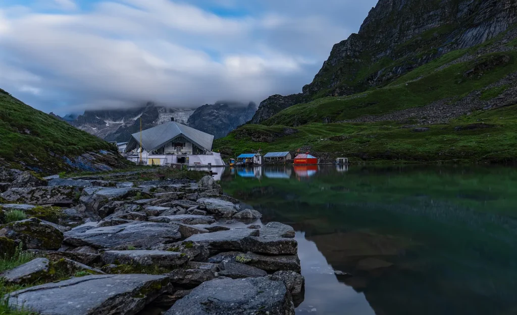
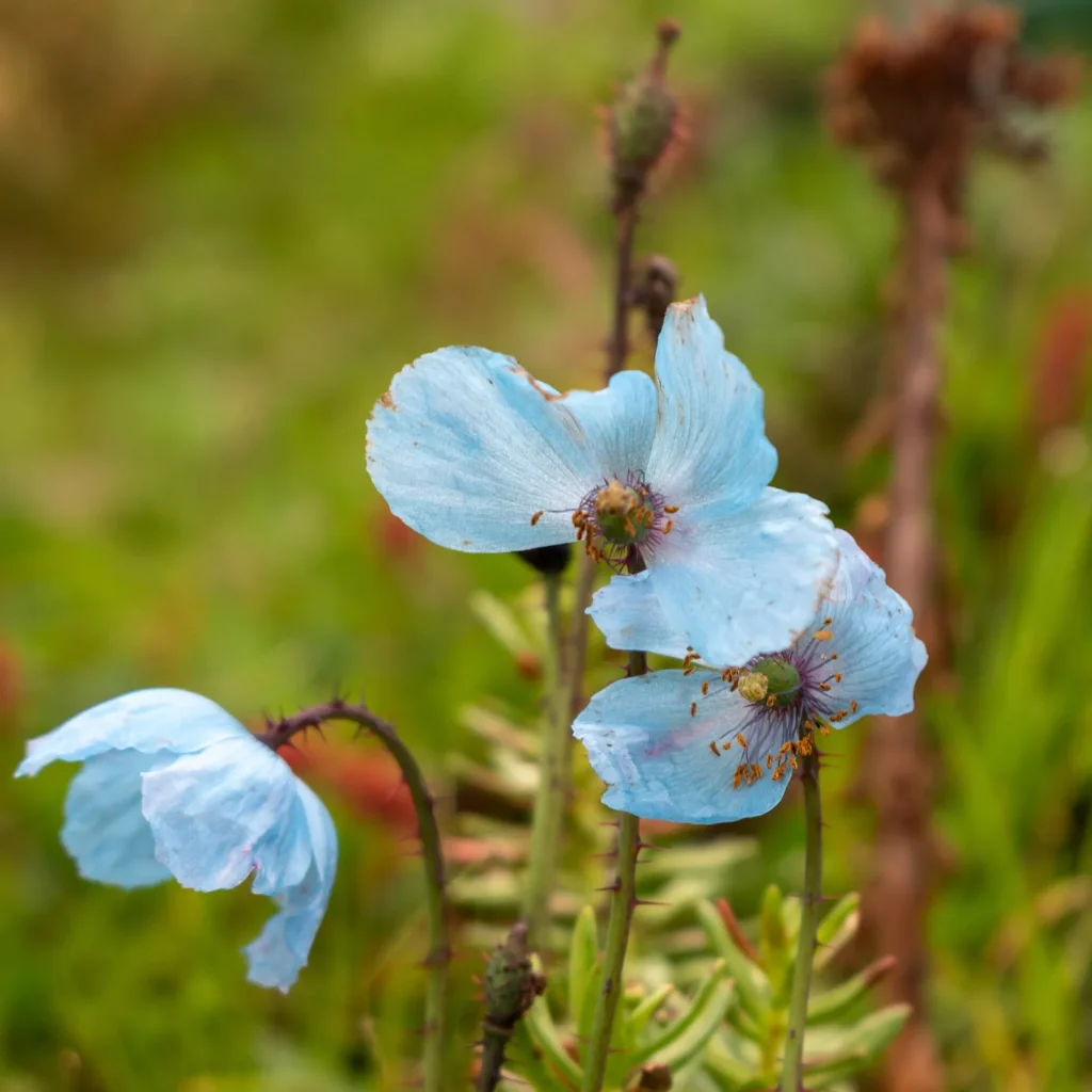
Hemkund Sahib is a Sikh pilgrimage site above Ghangaria, set beside a lake among the peaks of the Hemkund range. Uttarakhand Tourism says Guru Gobind Singh, the tenth Sikh guru, is believed to have meditated here. The climb from Ghangaria is steep and much higher than the valley, so take it slowly. Many trekkers combine the two because they share the same base. Blue poppies and brahma kamal can sometimes be seen near the trail in season.
Valley of Flowers trek cost and packages
The only fixed government charge is the entry permit. Everything else depends on how you travel.
| Item | What changes the cost |
|---|---|
| Road travel | Bus, shared taxi or a private car from Rishikesh or Haridwar |
| Stay | Season and type of room at Govindghat, Joshimath and Ghangaria |
| Ponies and porters | Optional, priced per stage |
| Helicopter | Optional and weather dependent |
| Permit | Fixed fee per person, set by the Forest Department |
A package from a trekking company usually bundles transport, rooms, meals and a guide. Garhwal Mandal Vikas Nigam, the state tourism corporation, also runs treks to the valley, according to Uttarakhand Tourism. Compare what is included, especially whether the permit and the Ghangaria rooms are part of the price.
What to pack
Rain is almost certain in the peak season. Bring a proper rain jacket, a cover for your backpack, trekking shoes with good grip and quick drying layers. Nights at Ghangaria are cold even in July. Carry a refillable bottle, since plastic is restricted, and some cash, because card and network coverage is patchy. Check road conditions on the Badrinath highway before you leave, since landslides can close it for hours.
Nearby in Uttarakhand
Govindghat is on the road to Badrinath, so many people pair the trek with our Badrinath trip guide or a full Char Dham Yatra. If you want another walk with big views, try the Chopta travel guide and the hike to Tungnath temple. For the pilgrim trek to Kedarnath, see our Kedarnath yatra guide. In the Kumaon hills, a trip to Almora or a few quiet days in Ranikhet make a gentler break.
FAQ
What is the Valley of Flowers trek distance?
Uttarakhand Tourism gives 13 km from Govindghat to Ghangaria and about 16 km in total to the valley. Add the walk inside the valley and the return, which together can make a long day.
How many km is the trek each day?
On the usual plan you walk around 13 km on the Ghangaria day, about 8 to 10 km round trip on the valley day, and 13 km down on the last day. Shared vehicles to Pulna can cut the first stretch.
When is the Valley of Flowers trek best time for flowers?
July to September, with mid July to mid August usually the peak. June has fewer flowers and October has almost none.
How much does the Valley of Flowers trek cost?
The permit is the only fixed charge. Transport, rooms, meals, ponies and any package fee depend on your choices and the season, so price them for your dates.
Is a package needed for the Valley of Flowers trek?
No. The trail is well marked and many people go on their own. A package helps if you want transport, rooms and a guide arranged for you.
Can you stay overnight in the Valley of Flowers?
No. Camping and overnight stays are not allowed in the park. You sleep at Ghangaria and must be back there by 5 pm.
Official resources: Uttarakhand Tourism: Valley of Flowers; Valley of Flowers online permit portal; UNESCO: Nanda Devi and Valley of Flowers National Parks
Photo credits
Featured image: Rohit Sharma / Wikimedia Commons, CC BY-SA 4.0; Valley of Flowers trek best time: Rohit Sharma / Wikimedia Commons, CC BY-SA 4.0; Permits and entry rules: Manas Jaitly / Wikimedia Commons, CC BY-SA 4.0; Route and distance: Alokprasad / Wikimedia Commons, CC BY 3.0; Route and distance: Vinayaraj / Wikimedia Commons, CC BY-SA 4.0; Ghangaria: Alokprasad / Wikimedia Commons, CC BY 3.0; Inside the valley: Alokprasad (talk) / Wikimedia Commons, CC BY-SA 2.5; Inside the valley: Rohit Sharma / Wikimedia Commons, CC BY-SA 4.0; Inside the valley: Manas Jaitly / Wikimedia Commons, CC BY-SA 4.0; Hemkund Sahib side trip: Harshit SR / Wikimedia Commons, CC BY-SA 4.0; Hemkund Sahib side trip: Rohit Sharma / Wikimedia Commons, CC BY-SA 4.0.


