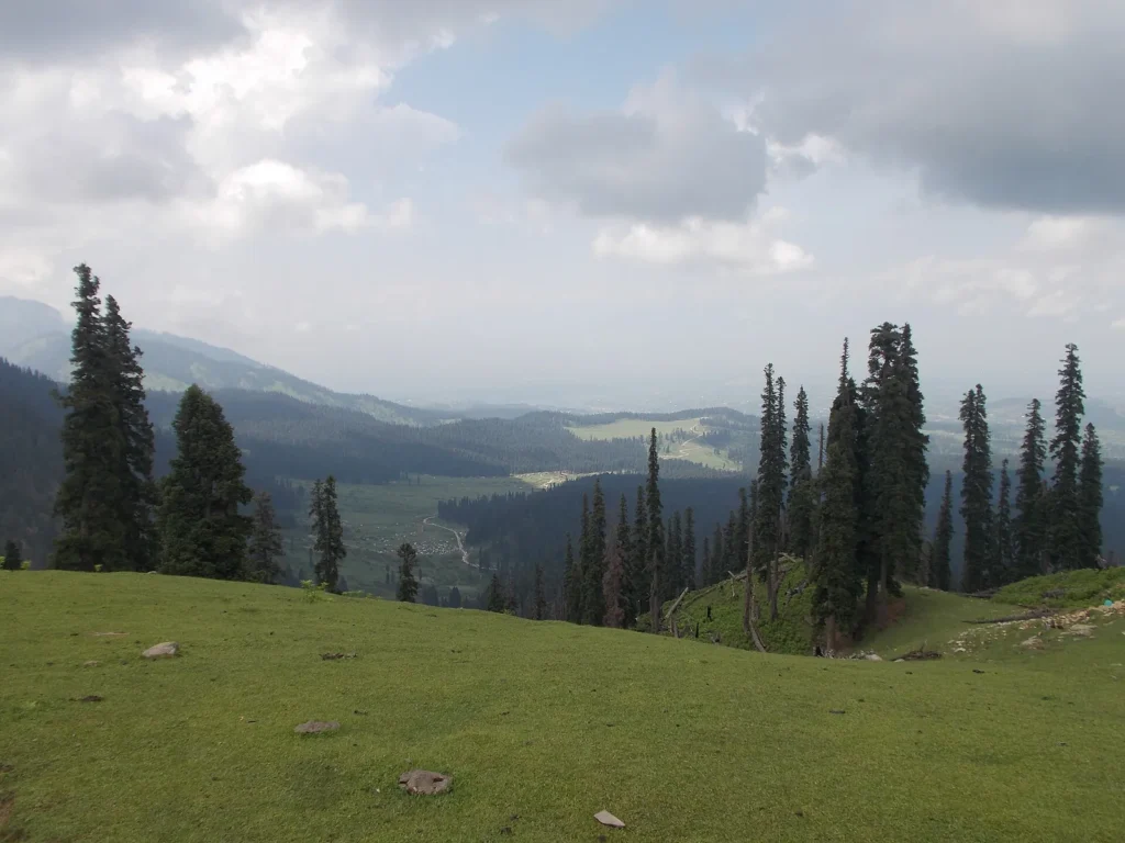
Doodhpathri is a high meadow in Budgam district, 42 km from Srinagar and 8,957 feet above sea level. It makes an easy day trip: about an hour and a half each way by car, with open grassland, pine forest and a fast, cold stream that looks white from a distance. Go between spring and autumn, because heavy snow closes the area for several months in winter.
Know before you go
- Distance: 42 km from Srinagar, 22 km from Budgam town, about 40 km from Srinagar airport
- Altitude: 8,957 feet (about 2,730 m)
- Drive time: under 1.5 hours from Srinagar, about 1 hour from the airport
- Nearest station: Budgam (Ompora), 35 km away
- Season: spring to autumn; blocked by snow for several months in winter
In this Article
Why Doodhpathri is worth a day
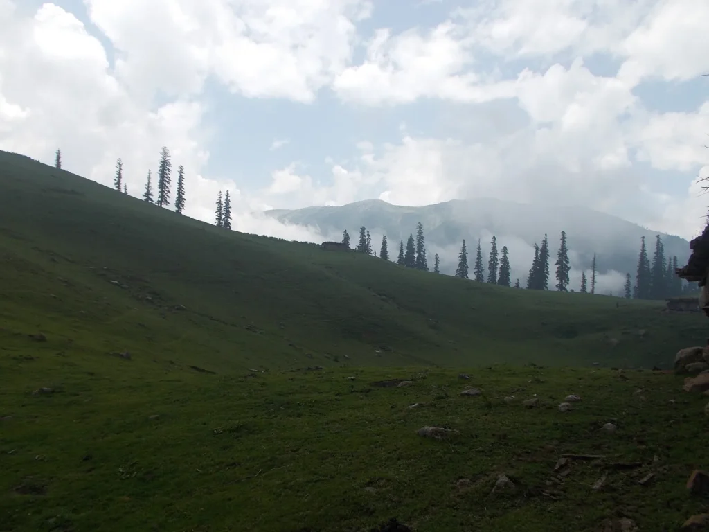
The Budgam district administration describes Doodhpathri as a bowl-shaped valley in the Pir Panjal range, ringed by snowy peaks, with alpine meadows and pine, fir and deodar forest. In spring and summer the grass fills with wildflowers such as daisies, forget-me-nots and buttercups. Shepherds bring their cattle up to graze in summer.
It sees far fewer visitors than Gulmarg or Pahalgam, which is the main reason to go. There is no big resort town, just meadows, a river and a few seasonal tea stalls. JK Tourism suggests taking a packed lunch and making a full day of it.
Why it is called the valley of milk
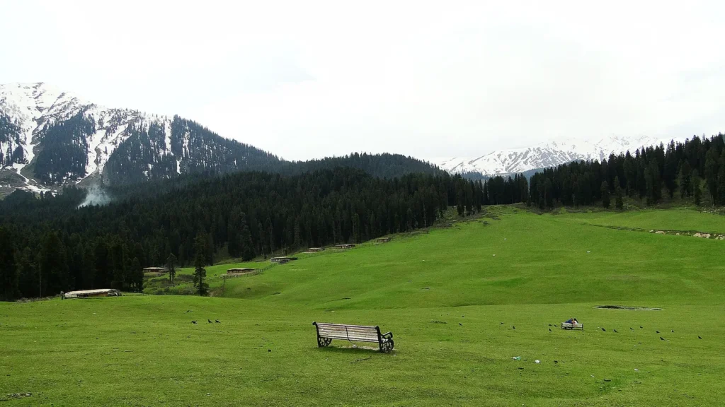
There are two stories. The district site tells of the saint Sheikh Noor-ud-din Noorani, also called Sheikh ul Alam, who prayed here and struck the ground with his stick to find water for ablution. Milk flowed out instead, and turned to water when he asked it to. JK Tourism gives a plainer reason: cattle grazing on these meadows are said to produce plenty of rich milk.
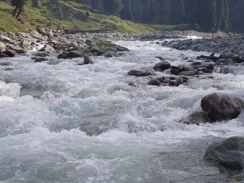
Either way, the name fits. From a distance, the foaming stream over the rocks does look milky, and it stays cold all year.
How to reach Doodhpathri from Srinagar
The district gives two road routes:
| Route | Via | Distance |
|---|---|---|
| Budgam route | Srinagar, Budgam, Khansahib, Raiyar | about 45 km |
| Gulmarg road route | Srinagar, Magam, Beerwah, Arizal | about 50 km |
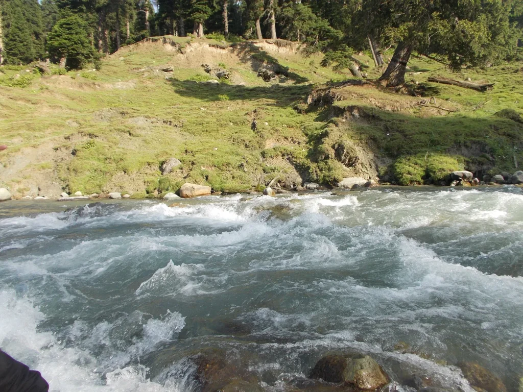
Most visitors hire a taxi for the day from Srinagar. The last part climbs through forest on a narrow mountain road, so a driver who knows the route is worth it. If you fly in and want a first stop before the city, the airport is about 40 km away, roughly an hour by car.
By train, the nearest station is Budgam (Ompora), 35 km from the meadows. You will still need a taxi from there.
A simple day plan
| Time | Plan |
|---|---|
| Morning | Leave Srinagar by 8am to reach the meadows before the midday crowd |
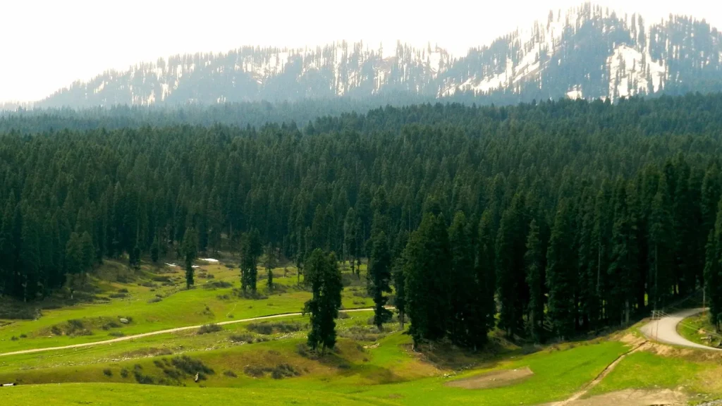
| Late morning | Walk along the stream and across the main meadow; pony rides are usually on offer for the farther meadows |
| Lunch | Packed lunch, or tea and snacks from the local stalls in season |
| Afternoon | Walk up to the higher meadows or sit by the water |
| By 4pm | Start back so you drive the forest road in daylight |
Things to do at Doodhpathri
The sightseeing is simple, and that is the point.
- Walk the meadows and pine forest. The paths are easy, though the ground can be wet after rain.
- Sit by the Shaliganga stream, the river that runs through the main meadow.
- Head to nearby meadows such as Mujpathri if you have time and a local guide.
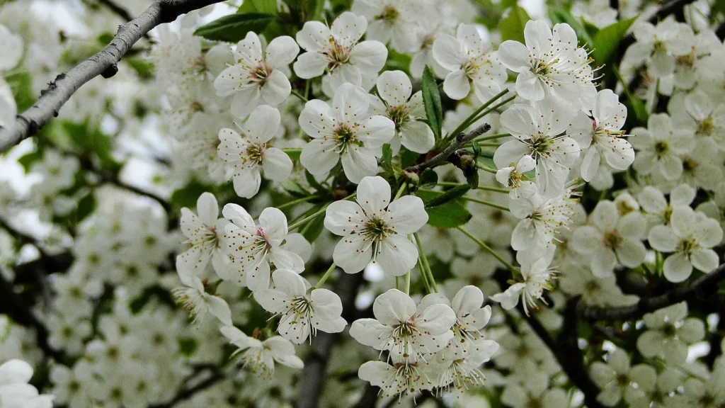
- Photograph the meadows in spring blossom or autumn colour.
- Stay the night. The district site says visitors who sleep over remember the starry sky and the quiet most of all. Accommodation is limited, so arrange it before you go.
Doodhpathri weather and best time
At almost 9,000 feet, Doodhpathri is noticeably cooler than Srinagar. Carry a warm layer even in summer, and a rain jacket, since mountain showers come in fast.
Spring and early summer bring wildflowers and fresh green grass, and summer is the most comfortable time for a full day outdoors. Autumn turns the forest gold and the air crisp. In winter, heavy snow makes the meadows hard or impossible to reach for months, so check road conditions locally before planning a trip from late autumn on. Our guide to the best time to visit Kashmir covers the season month by month.
Fitting Doodhpathri into a Kashmir trip
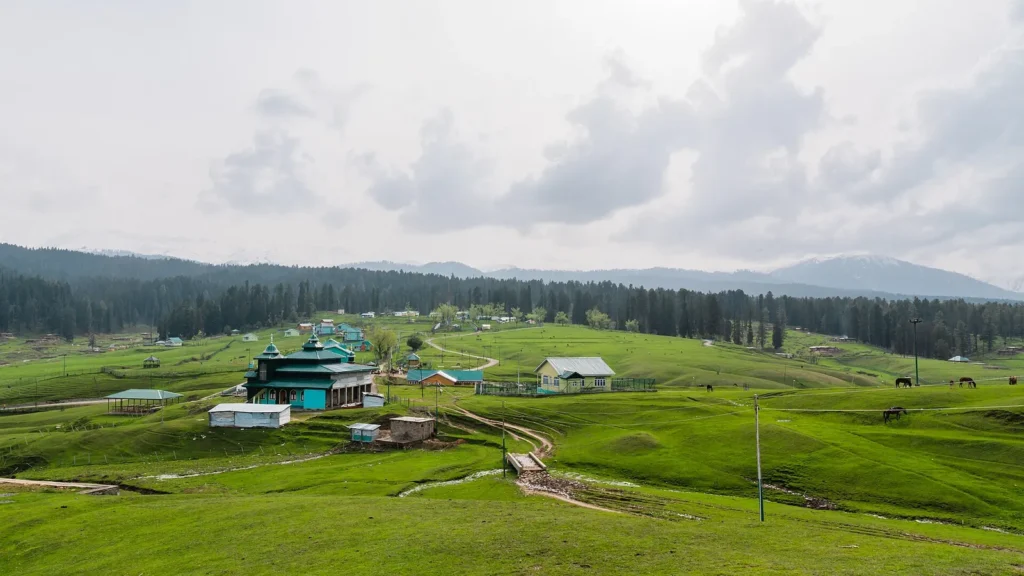
Doodhpathri lies south-west of Srinagar, on the same side of the valley as Gulmarg. Pahalgam is in the opposite direction, so don’t try to do both in one day. Sonamarg is north-east of the city and also needs its own day.
In our 5-day Kashmir itinerary, Doodhpathri can replace a lazy day in Srinagar or come right after you land. Yusmarg, another Budgam meadow, is a good choice for a second quiet day. For more of the valley in pictures, see the real beauty of Kashmir.
Practical tips
- Carry cash. Mobile signal and card payments can be patchy in the meadows.
- Wear shoes with grip; grass by the stream gets slippery.
- Take your rubbish back with you.
- Respect the shepherds’ camps and keep a distance from grazing animals.
- Agree on taxi rates, including waiting time, before you leave Srinagar.
FAQ
What is the distance from Doodhpathri to Srinagar?
About 42 km. The two main road routes are about 45 km via Budgam and Khansahib, or about 50 km via Magam and Beerwah. The drive takes under an hour and a half.
Where is Doodhpathri in Kashmir?
In Budgam district, 22 km from Budgam town, in a bowl-shaped valley of the Pir Panjal range at 8,957 feet.
What is Doodhpathri weather like?
Cool even in summer because of the altitude, with sudden showers. Winter brings heavy snow that blocks access for several months.
What is the sightseeing at Doodhpathri?
Mostly meadows, pine forest and the cold stream through the valley. Walks, pony rides to farther meadows, photography and an overnight stay are the main things to do.
How far is Doodhpathri from Pahalgam?
They lie on opposite sides of Srinagar, so the drive is long. Visit them on separate days with Srinagar as your base.
Official resources: District Budgam: Doodhpathri; JK Tourism: Dodhpather; District Budgam: places of interest
Photo credits
Featured image: MDG27Q / Wikimedia Commons, CC BY-SA 4.0; Why Doodhpathri is worth a day: Ankur P from Pune, India / Wikimedia Commons, CC BY-SA 2.0; Why it is called the valley of milk: MDG27Q / Wikimedia Commons, CC BY-SA 4.0; How to reach Doodhpathri from Srinagar: R-yn / Wikimedia Commons, CC BY-SA 4.0; A simple day plan: MDG27Q / Wikimedia Commons, CC BY-SA 4.0; Things to do at Doodhpathri: Ankur P from Pune, India / Wikimedia Commons, CC BY-SA 2.0; Doodhpathri weather and best time: MDG27Q / Wikimedia Commons, CC BY-SA 4.0; Fitting Doodhpathri into a Kashmir trip: Suhail Skindar Sofi / Wikimedia Commons, CC BY-SA 4.0.