
The Kashmir Great Lakes trek is a point to point walk through the high meadows between Sonamarg and Naranag, passing a chain of alpine lakes. Operators usually schedule it as 7 to 8 days, covering about 70 km, with a highest point near 4,200 m at Gadsar Pass. The season is July to September. We read Wikipedia and three trekking operators for this guide, and their numbers differ, so you will see ranges and not single figures.
Know before you go
- Route: Sonamarg to Naranag, west to east in most itineraries.
- Length: about 67 to 72 km, depending on the source.
- Time: 7 to 8 days including travel and a buffer.
- Highest point: Gadsar Pass, about 4,175 to 4,206 m in different sources.
- Season: July to mid September per operators, June to September per Wikipedia.
- Difficulty: rated moderate to difficult by operators.
- Last checked: 13 November 2026.
In this guide
The route in stages
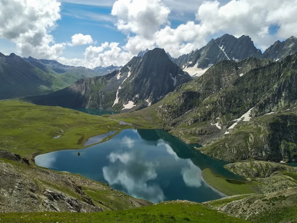
The common itinerary follows the same lakes in the same order. Day lengths and altitudes below are approximate and vary by operator.
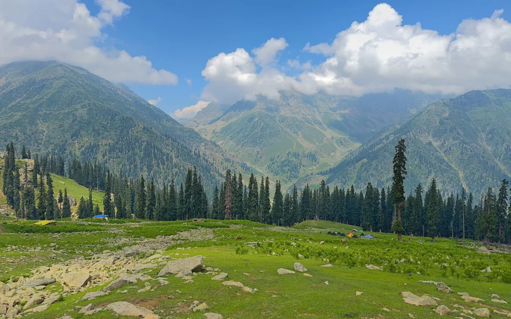
- Sonamarg to Nichnai: a steep first day through forest into meadow, about 10 to 12 km.
- Nichnai to Vishansar: you cross a pass and drop to the twin lakes of Vishansar and Krishansar, about 11 to 14 km.
- Vishansar to Gadsar: the hardest day, over Gadsar Pass at about 4,200 m and down to Gadsar Lake.
- Gadsar to Satsar: a longer, flatter day past the chain of small Satsar lakes.
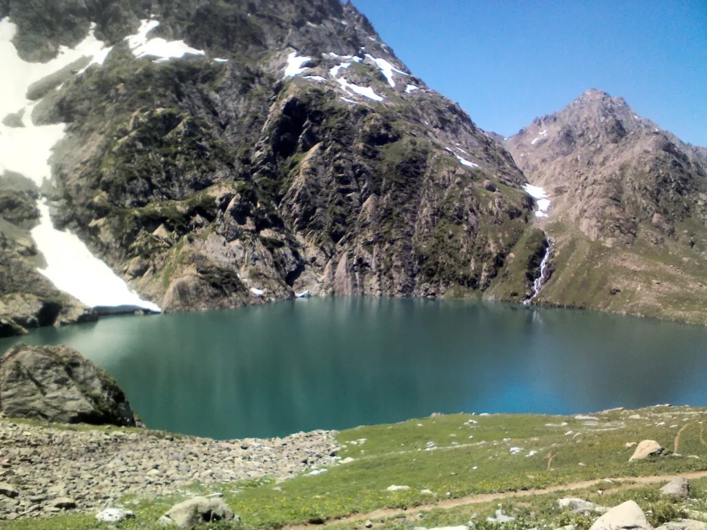
- Satsar to Gangabal: over another pass to the twin lakes of Gangabal and Nundkol, below Mount Harmukh.
- Gangabal to Naranag: a long descent through forest to the village of Naranag, and a drive to Srinagar.
The lakes you pass
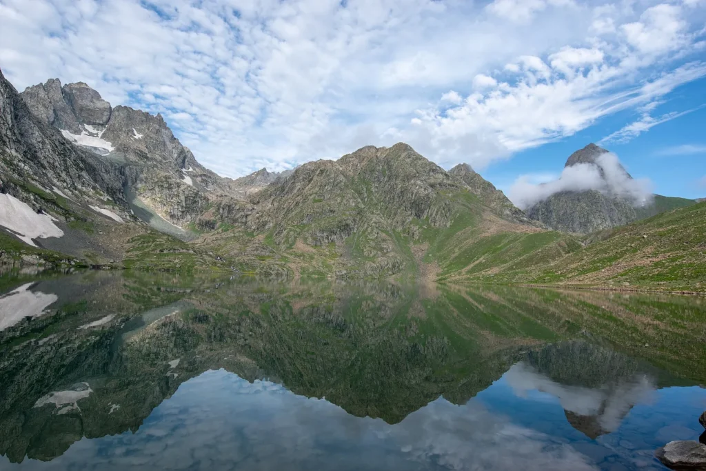
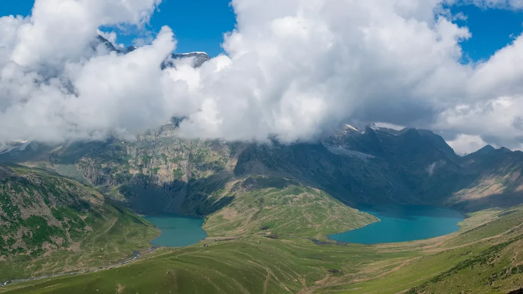
Vishansar and Krishansar sit close together, and Wikipedia lists both along with Gadsar, Satsar, Gangabal and Nundkol among the main sights.
Gangabal and Nundkol
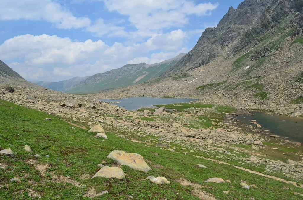
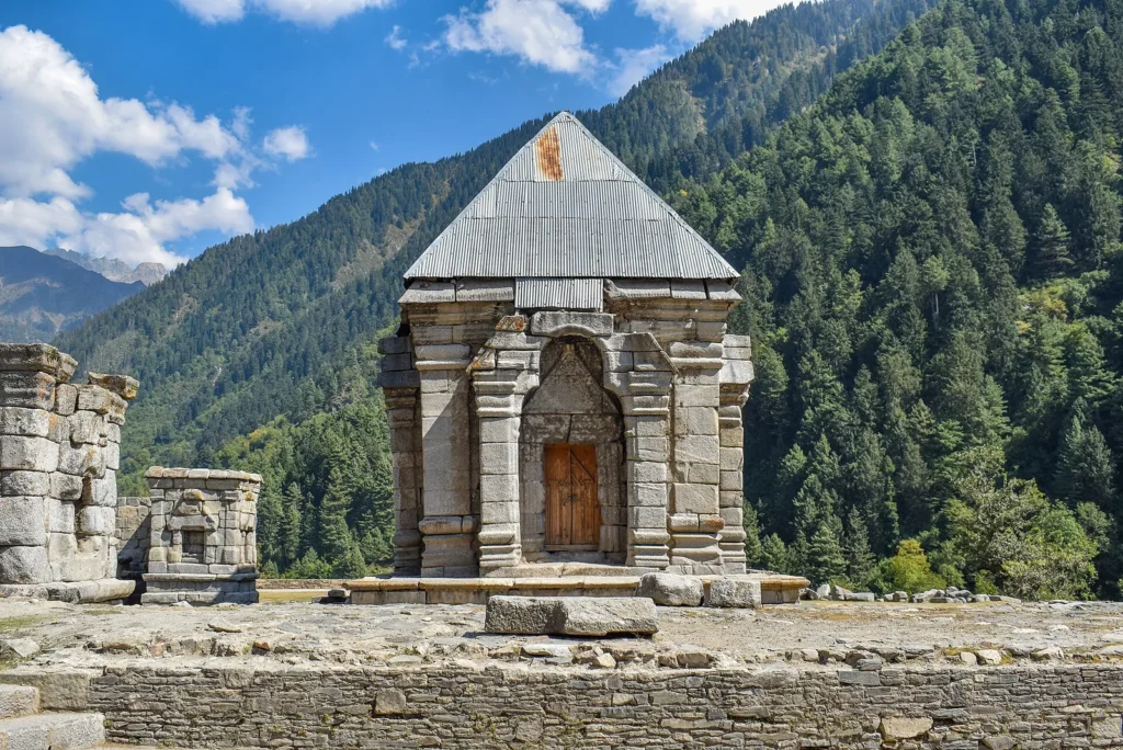
These two lakes sit at the foot of Mount Harmukh and are the last big campsite before the descent. A small shrine stands on the shore of Gangabal.
Best season
Operators run the trek from July to mid September, and Wikipedia gives June to September. Snow can still lie on the passes in early season, and rain is possible at any time. Nights are cold even in summer, and days can be sunny. Our best time to visit Kashmir page covers the wider seasons.
How hard is it?
Operators call it moderate to difficult. The challenge is altitude and the long days, not technical climbing. You camp above 3,500 m for several nights and cross passes close to 4,200 m, so headaches and nausea are possible. Build in a buffer day, walk slowly, drink water and tell your guide at once if you feel unwell.
One operator sets a minimum age of 14, and others set their own limits. Some days are long, so train with stairs, hills and a loaded pack for a few weeks before you go.
Permits and booking
Most people book through a registered operator that handles tents, food, guides and transfers. We could not confirm the current permit or registration rules from an official source, so ask your operator which permits are needed and carry photo ID, because army checkpoints are reported on the route. Prices differ by operator and season, so compare what each one includes.
Before and after the trek
The trek starts near Sonamarg and ends at Naranag, so Srinagar is the usual base for arrival and departure. Our Sonamarg travel guide, Srinagar guide and Pahalgam guide help with the days either side. If you want an easier plan, see the Kashmir 5 day itinerary.
FAQ
How long is the Kashmir Great Lakes trek?
About 67 to 72 km over 7 to 8 days, depending on the operator and route.
When is the best time for the Kashmir Great Lakes trek?
July to mid September, per operators. Wikipedia says June to September.
How difficult is the Kashmir Great Lakes trek?
Operators rate it moderate to difficult, mainly for altitude and long days.
Where does it start and end?
It starts near Sonamarg and ends at Naranag.
What is the highest point?
Gadsar Pass, at roughly 4,200 m.
Official resources: Wikipedia on the Great Lakes Trek. We found no official tourism page with route details.
Photo credits
Featured image: Rohit Sharma / Wikimedia Commons, CC BY-SA 4.0; The route in stages: Rohit Sharma / Wikimedia Commons, CC BY-SA 4.0; The lakes you pass: Mehrajmir13 / Wikimedia Commons, CC BY 4.0; The lakes you pass: Mehrajmir13 / Wikimedia Commons, CC BY-SA 3.0; Gangabal and Nundkol: Rohit Sharma / Wikimedia Commons, CC BY-SA 4.0; Gangabal and Nundkol: UnpetitproleX / Wikimedia Commons, CC BY-SA 4.0; How hard is it?: Original: Basavaraj K. KorkarDerivative work: UnpetitproleX / Wikimedia Commons, CC BY-SA 4.0.


